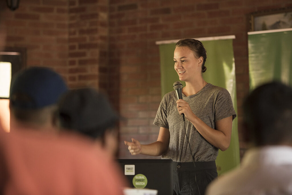
Liz Cole Bourgault ’13, product manager of Earthcache, a software platform that offers access to multiple sources of satellite data
By Bryan Hay
When Liz Cole Bourgault ’13 (environmental studies and international economics) worked at Global Forest Watch, she investigated the use of satellite imagery to help indigenous communities, forest rangers, and others on the front lines of managing forests look for illegal logging and mining-driven deforestation.
“Detailed information is important to those who would make a long, expensive journey into the forest,” she says. “They need to know when and where they need to go off trails and spend hours in remote locations and what they might encounter. They want to know if it’s actually worth investigating. But satellite imagery, which can provide that detail, is super expensive.”
Bourgault was drawn to SkyWatch, a company on a mission to make satellite imagery more accessible and affordable for a more general audience.

Liz Cole Bourgault ’13 / Photo by Jordi Ruiz Cirera
“I could see that direct application from the people I was working with in the field and their need for satellite imagery to more cost effectively investigate and protect their lands,” she says. “And especially in the time of COVID when we’re not able to be in the places we normally are, satellite monitoring could be a really great resource for monitoring in the field.
“I’ve been really excited about the opportunity to be part of SkyWatch,” says Bourgault, product manager of Earthcache, a software platform that offers access to multiple sources of satellite data.
The data would be a valuable tool in helping fight massive wildfires such as the relentless ones endured by California this year. With high-resolution imagery, hotspots like sun-soaked blacktop that otherwise might be perceived as a fire can be seen in detail and save valuable time for first responders.
“When you start to see the scale at which these fires are happening around the world, it’s disheartening,” she says. “It’s really valuable to be able to get more of a complete picture from satellite data.”

Liz Cole Bourgault ’13 / Photo by Sarah Sargent
Lafayette’s STEM foundation helped develop her interest in protecting the environment and establish her career in an advancing technology.
An interim course in New Zealand and a semester in Costa Rica stood out as “incredible opportunities” that intensified her passion for conservation and environmental fields.
“With sciences and liberal arts I was able to study many things and learn different angles and seek fresh ways to approach challenges,” Bourgault says. “I was also an economics major so I was interested in international development and the intersection of economics and conservation. My professors, advisers, and mentors were a big source of inspiration for the direction that my career has gone.”
Read about other STEM Stars.

